« Day 20 - Beaver Creek, YT to Watson Lake, YT (Thr 8/7/14) | Main | Day 22 - New Hazelton, B.C. to McLeese Lake Resort, B.C. (Sat 8/9/14) »
August 9, 2014
Day 21 - Watson Lake, Yukon Territory to New Hazleton, B.C. (Fri 8/8/14)
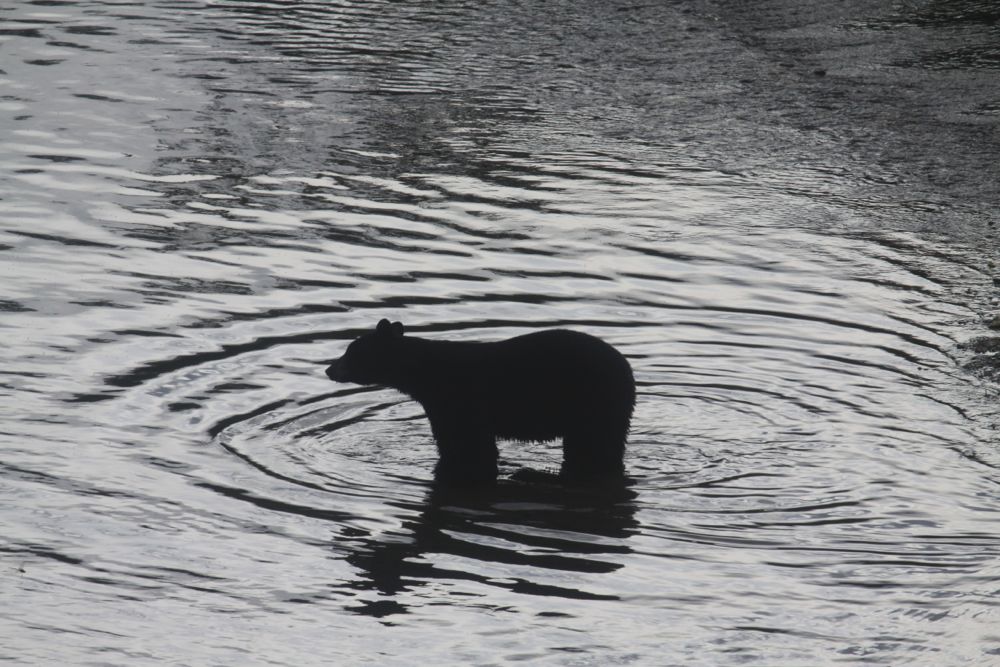
Above: Black bear fishing in the river along the Cassiar Highway (BC 37) just north of Kitwanga, B.C.
Additional Photos in Extended Entry.
(Fri 8/8/14)
Update: I am alive and well and resting peacefully in the town of New Hazleton, British Columbia, on the banks of the Skeena River, just off of the Yellowhead Highway (Canada Highway 16).
Starting Odometer: 21,910
Ending Odometer: 22,429
Miles Driven Today: 519
Miles Driven This Trip: 7,776
Here's a map of roughly where we drove today.
I'm so tired there just aren't words. Trying to get out of B.C. BC is an enormous province. Larger than California, Oregon, and Washington combine. So I've been pushing Ben to ride 500 miles a day. Tomorrow, we'll do our third day of 500+ mile days, and should make it down to Cache Creek. Then, down the Sea-to-Sky Highway (Canada Highway 99), through Whistler down to Vancouver. It's an amazing road....I drove it last time I was up here.
Today, we got away about 9:30 a.m., and went down the Cassier Highway. Stopped for gas every 150 miles. Saw lots of bears. Got some decent pics of them.
Some woman came in after us at one place where we got gas. She was fat, ugly, and loud. Complaining about a pass that Ben made back down the road. She kept on and on until I finally looked at her and said "Would you please shut the fuck up?" And she did.
So we rolled on. Finally got down to Kitwanga, but I couldn't find the gas station. I got confused and thought 37 was 16, and got turned around. Finally found the gas station about a mile south of where I thought it was.
Then, rolled into New Hazleton for the night.
The hotel manager totaled his car 2 weeks ago. Says he fell asleep at the wheel. I wonder how people do this, when we come up here itching for trouble and somehow we don't crash. Hard to fathom.
In the parking lot, Ben starts changing his oil. Nothing is more fun than working on your bike in a motel parking lot 5,000 miles from home. So, I start to work on repairing my dysfunctional cigarette lighter.
Ask the motel manager for some speaker wire and he comes out with beers and some 220v electrical conduit wiring. Close enough. Pull open the battery tray...start hooking up the wire. I plan on running a direct line to my radar detector so I don't get arrested. And I'm making good progress, but it's getting dark now.
The days get shorter as you go south, which sucks, of course. And I can't find my flashlight somehow. So, I'm using a cigarette lighter to see, and I look at the cigarette lighter fixture on my Wal-mart cigarette lighter adapter contraption, and finally I understand where the extra parts came from. My KTM cigarette lighter socket is not he problem. It's the piece of junk I bought from wal-mart that came apart. Once I understand what the problem is, I fix it in about 3 seconds in the parking lot. Unhook the wires. Finish the beer. And now it's time to sleep for a few hours, then get up and do it again tomorrow.
I tell Ben that we'll do one more 500 mile day tomorrow, then we'll sleep in Cache Creek. The next day, (Sunday), we'll go down the Sea-to-Sky Highway (99), through Hell's Gates. A beautiful ride.
Photos in the Extended Entry.
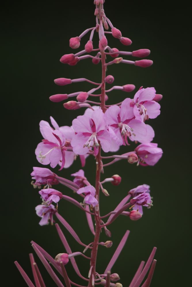
Above: Fireweed along the Stewart Cassiar Highway (BC 37).
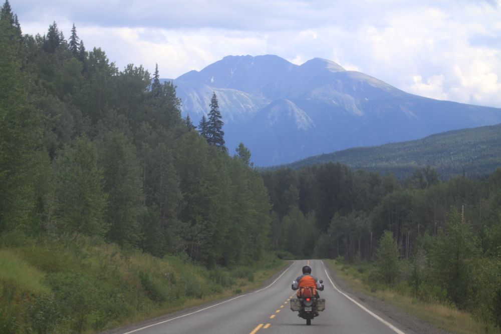
Above: Ben on his Kawasaki KLR 650 riding south down the Cassiar Highway (BC 37).
Above: Black bear fishing in the river along the Cassiar Highway (BC 37) just north of Kitwanga, B.C.
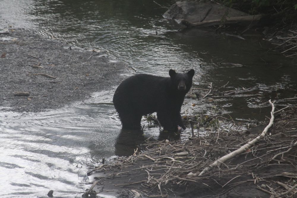
Above: Black bear fishing in the river along the Cassiar Highway (BC 37) just north of Kitwanga, B.C.
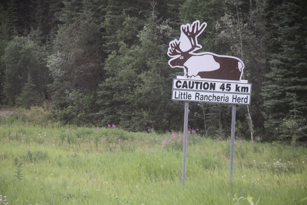
Above: Driving south on the Stewart Cassiar Highway, through the Liard Basin of the Yukon Territoriy, a sign warns to watch out for the Little Rancheria Caribou herd.
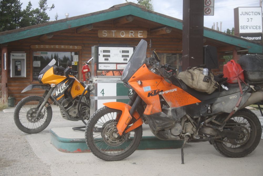
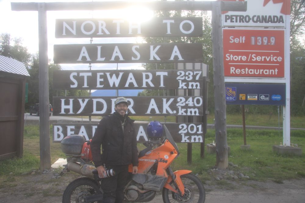
Above: Stopping for fuel along the Stewart Cassiar Highway (BC 37). Not a lot of fuel stops along this route. Gas stations about every 250 km or so.
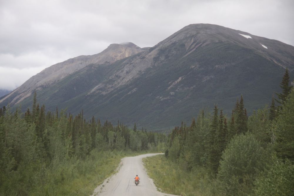
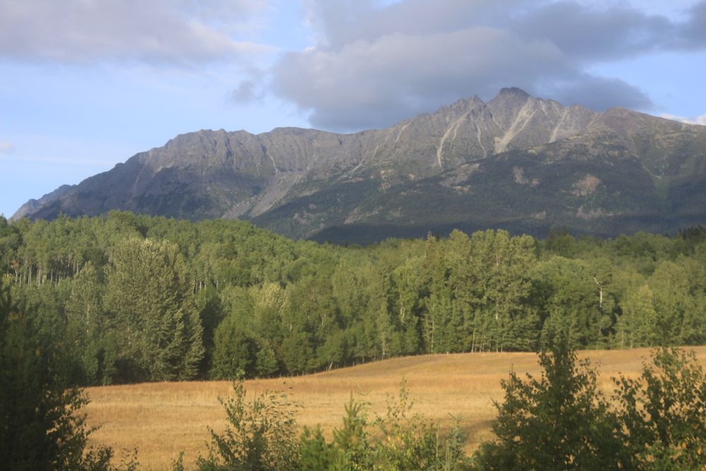
Above: Driving south along the Stewart Cassiar Highway (BC 37).
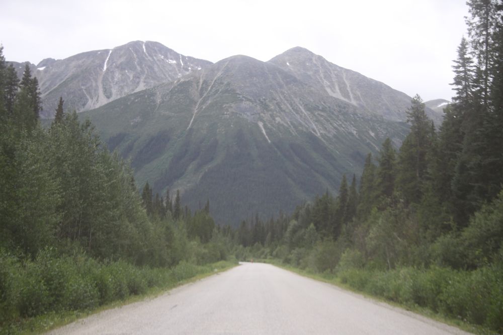
Above: Driving south along the Stewart Cassiar Highway (BC 37).
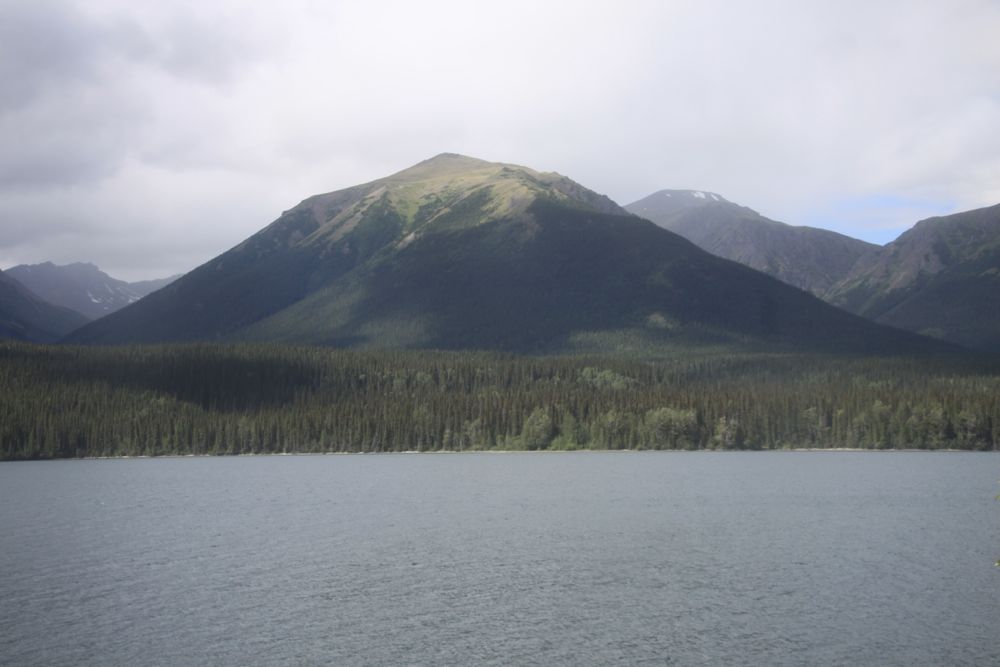
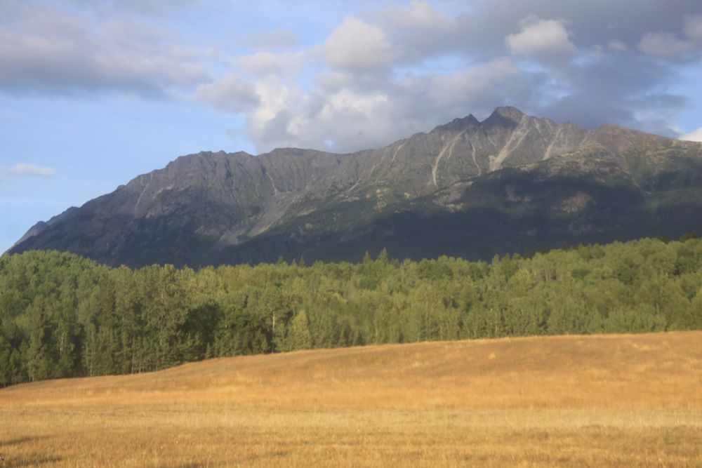
Above: Driving south along the Stewart Cassiar Highway (BC 37).
Above: Driving south along the Stewart Cassiar Highway (BC 37).
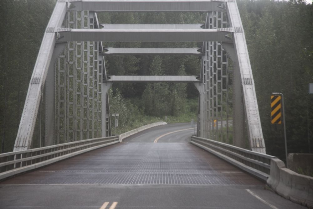
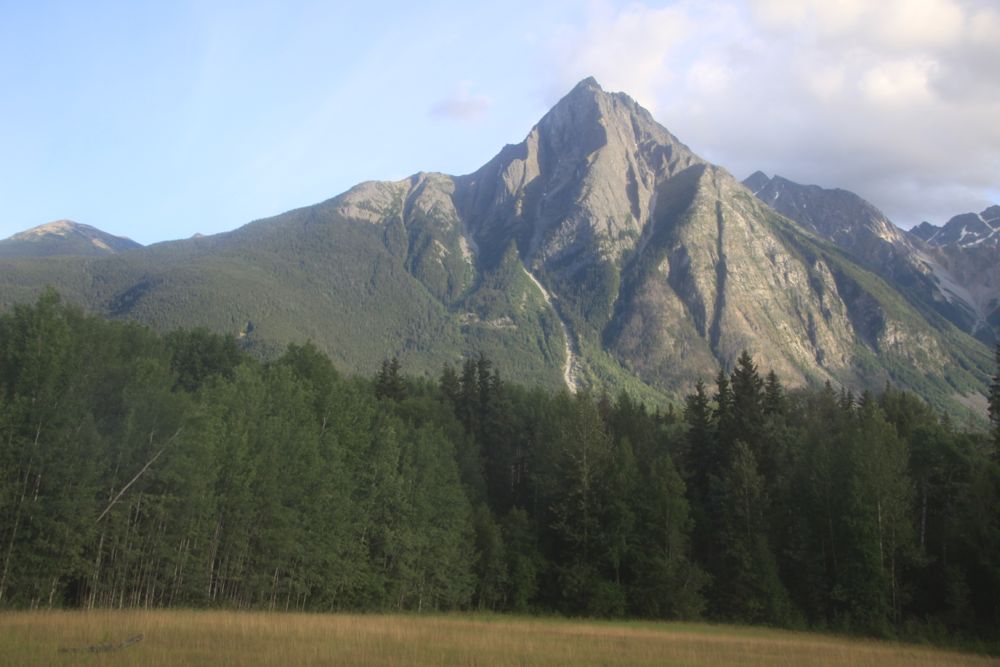
Above: Driving south along the Stewart Cassiar Highway (BC 37).
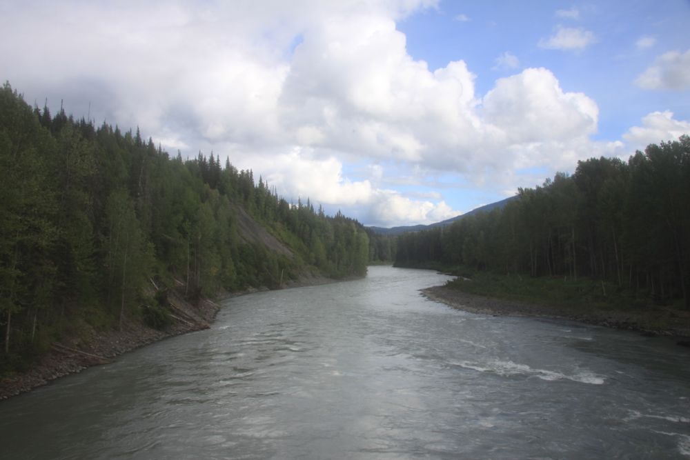
Above: Driving south along the Stewart Cassiar Highway (BC 37).
Above: Driving south along the Stewart Cassiar Highway (BC 37).
Above: Driving south along the Stewart Cassiar Highway (BC 37).
Above: Driving south along the Stewart Cassiar Highway (BC 37).
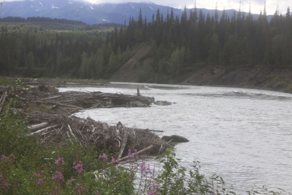
Above: The confluence of the Kitwanga River and the Skeena River along the Stewart Cassiar Highway (BC 37). The last time I was here was almost exactly 3 years ago.
.jpg)
Above: Photo from when I was last in Kitwanga, B.C., 2 years and 51 weeks ago. That trip, I was on the Honda XR650L.
Posted by Rob Kiser on August 9, 2014 at 2:01 AM
Comments